Boundary Line Surveys
Residential And Rural Boundary Surveys Done Right
- Boundary Identification Accurate property line marking and verification.
- Residential Surveying Services Reliable surveys for homes and rural properties.
- Responsive Local Experts Fast communication with dependable local service.
- Professional Survey Certificates Detailed property documentation from licensed surveyors.
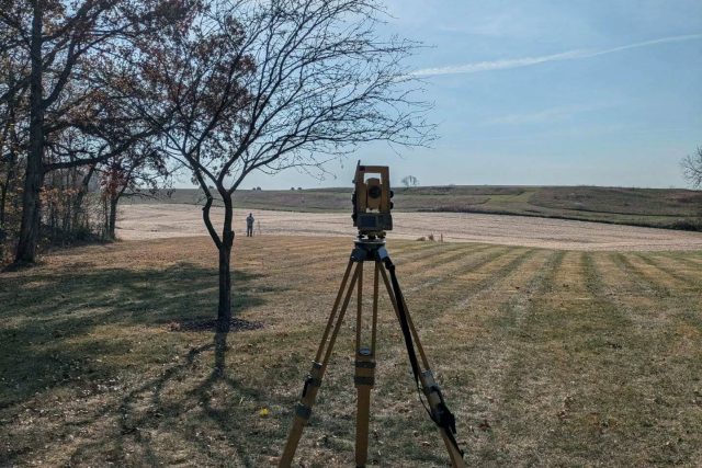
Get Accurate Boundary Line Surveys Backed by Local Experience
Prince Land Surveying provides accurate boundary line surveys for residential, rural, agricultural, and commercial properties throughout Northern Indiana. Our land surveying services help property owners move forward with confidence, whether they are planning improvements, resolving disputes, or preparing for a sale.
Our boundary surveys help you:
Identify legal property boundaries with precision
Avoid costly disputes with neighbors or contractors
Move forward confidently with construction or property improvements
What Is A Boundary Line Survey?
A boundary survey establishes the legal lines of a property and identifies where ownership begins and ends.
Boundary line surveys establish the legal boundaries of a property and identify where ownership begins and ends. Property owners often need a boundary survey before building a fence, garage, driveway, patio, seawall, shed, addition, or other improvement near a property line.
A boundary survey also helps resolve neighbor disputes, supports property sales, and confirms lot dimensions before development or land division.
Our team researches deeds, plats, county records, highway plans, and previous surveys to establish accurate property information before fieldwork begins. We then locate existing monuments, calculate boundary positions, and identify missing corners when necessary.
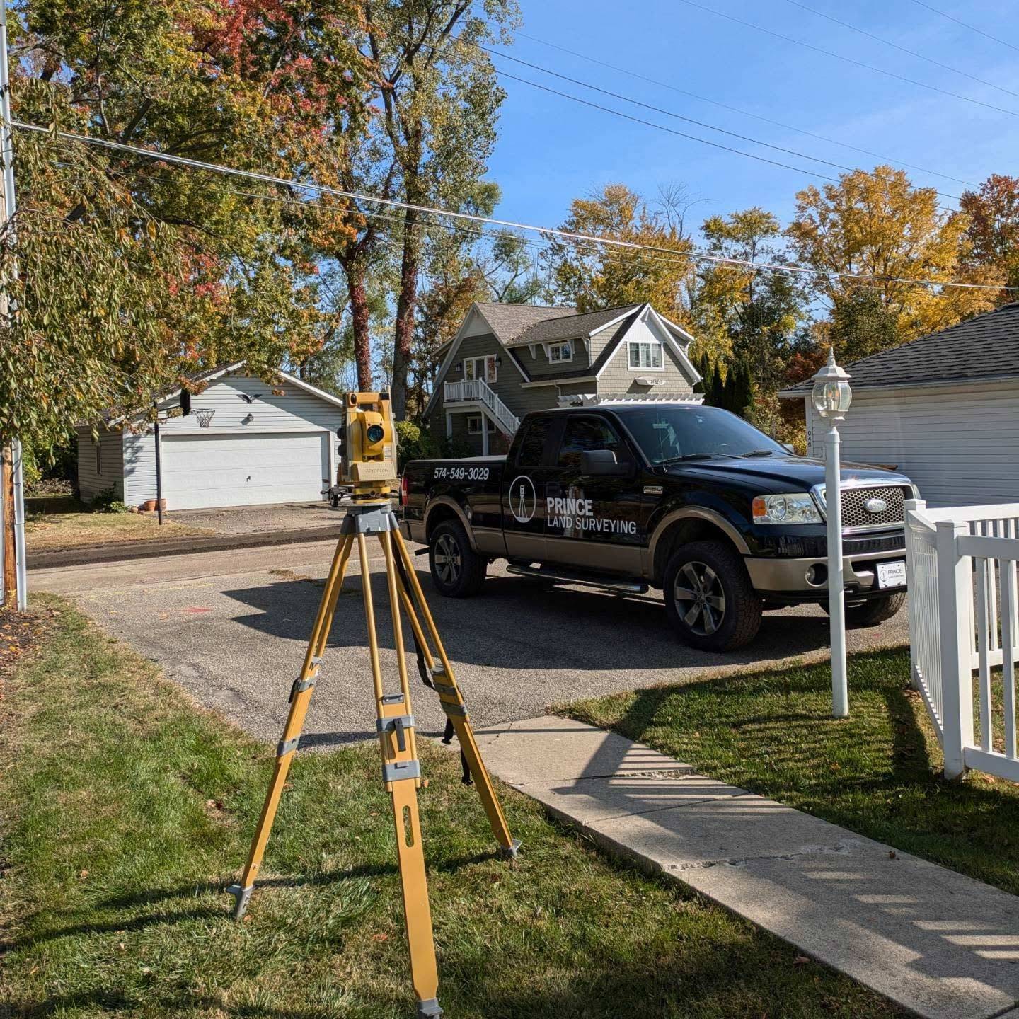
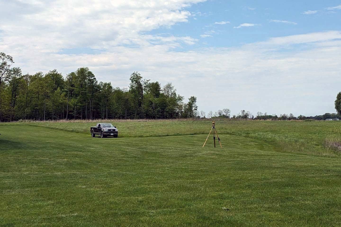
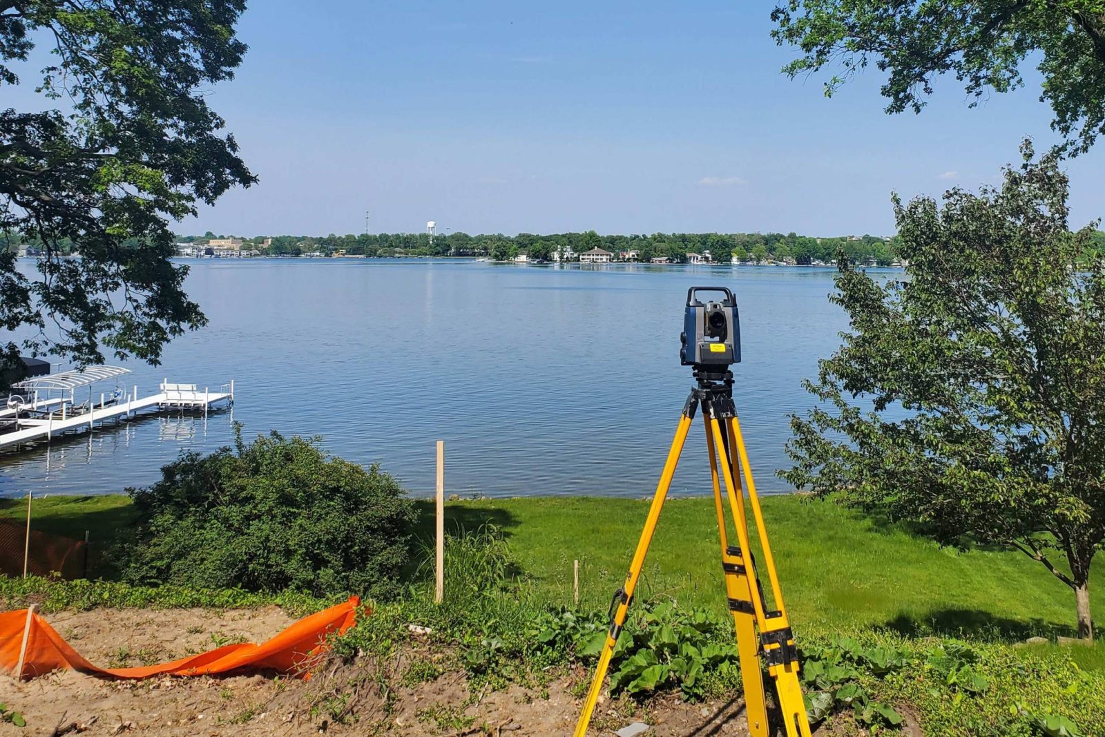
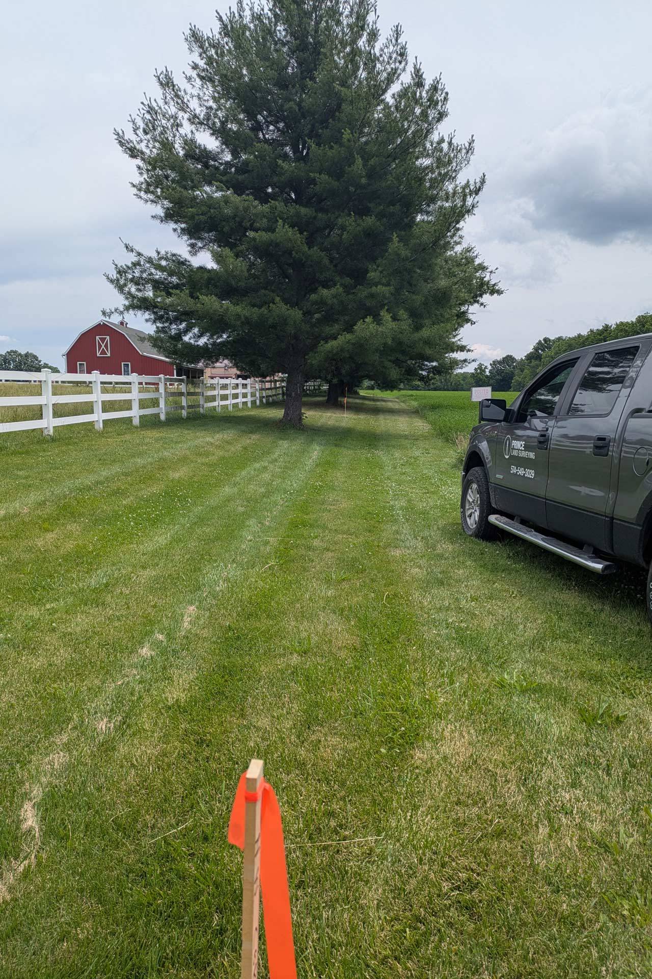
Our Boundary Survey Process
We handle every step of the surveying process in-house, which allows us to provide a more streamlined experience for our clients. From the first phone call to the final survey certificate, we focus on communication, accuracy, and dependable service.
We understand that many property owners have never hired a surveyor before, so we take time to explain the process and answer questions clearly throughout the project.
Our process typically includes:
- Initial consultation and property information gathering
- Research of deeds, plats, surveys, and county records
- Fieldwork to locate monuments and existing features
- Boundary calculations and analysis
- Corner marking and line identification
- Preparation of a professional survey certificate
Why Boundary Surveys Are Necessary
Many property owners don’t realize they need a survey until a contractor, county office, lender, or neighbor requests one. Boundary line surveys provide clarity and help prevent expensive mistakes before construction or property transfers begin.
Without accurate boundary information, property owners risk building improvements across lot lines, creating legal disputes, or violating setback requirements.
A professional boundary survey helps our clients:
- Confirm exact property lines
- Identify encroachments or overlaps
- Plan future improvements confidently
- Support property sales and purchases
- Divide land into smaller parcels
- Avoid conflicts with neighbors
- Meet local building and permitting requirements
Superb customer service. I highly recommend this company.
Areas Served
Trusted Local Land Surveyors in Northern Indiana
Prince Land Surveying serves clients throughout Kosciusko County and the surrounding region.
Our team works with homeowners, landowners, builders, realtors, title companies, and contractors who need dependable land surveying services from experienced local professionals.