Land Surveying Service Area
Your Local Surveying Company In Northern Indiana
- Local Surveying Expertise Serving residential and commercial properties across Northern Indiana.
- Experienced Surveying Professionals Reliable surveying backed by local knowledge and experience.
- Responsive Local Service Fast communication with dependable project support.
- Comprehensive Surveying Solutions Boundary, ALTA, topographical, staking, and subdivision services.
Prince Land Surveying is proud to serve homeowners, landowners, builders, developers, contractors, realtors, title companies, lenders, and municipalities throughout Northern Indiana. As a trusted local surveying company based in Warsaw, we provide accurate land surveying services backed by responsive communication, dependable turnaround times, and decades of combined field experience.
We primarily serve Kosciusko, Marshall, and Fulton counties, with extended coverage across Elkhart, Noble, Pulaski, Starke, Whitley, and Wabash counties throughout Northern Indiana.
Professional Surveying Services
As a local surveying company, Prince Land Surveying provides a full range of residential, commercial, agricultural, and construction surveying services throughout our service area.

Boundary Surveys
Accurately identify property lines for legal documentation and dispute resolution.

ALTA/NSPS Surveys
Detailed commercial surveys covering boundaries, easements, improvements, and encroachments.

Topographic Surveys
Precise contour and feature data for construction, engineering, and development.

Construction Staking
Accurate on-site staking that keeps projects built to exact specification.

As-Built Surveys
Documented representation of a structure or project after construction completion.

Location Surveys
Precise documentation of buildings, structures, and improvements on your property.

Minor Subdivisions
Professional surveying support for dividing property into smaller, recordable parcels.

Elevation Certificates
Official elevation documentation for flood zone compliance and insurance requirements.
Superb customer service. I highly recommend this company.
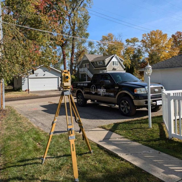
Why Choose Us?
Prince Land Surveying started with the goal of providing Northern Indiana property owners with another reliable surveying option that focuses on personal service and professionalism. Our team handles every phase of the survey process in-house, from the initial request and research to fieldwork and final documentation.
We understand that many property owners hire a surveyor for the first time during important projects involving fences, additions, driveways, property sales, construction, or land divisions. Our team takes time to explain the process clearly and answer questions throughout every project.
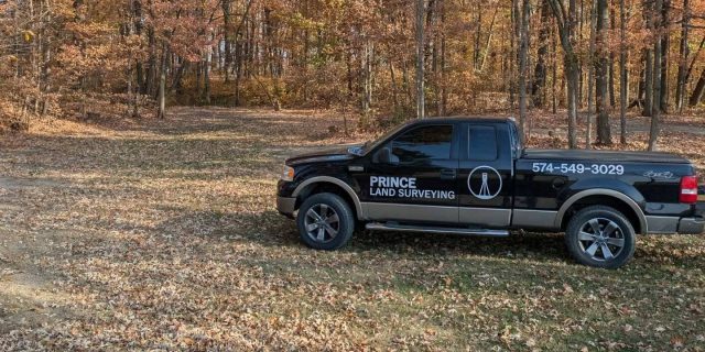
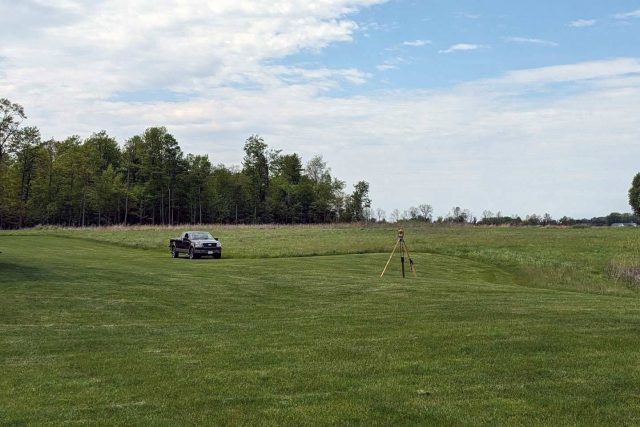
Supporting Residential, Commercial, and Rural Properties
We provide surveying services for a wide variety of property types throughout Northern Indiana. We work with homeowners needing boundary line surveys, developers planning commercial projects, builders preparing construction sites, and rural landowners dividing agricultural property.
Common projects we support include:
Fence and property line verification
Home additions and garages
New construction projects
Commercial property transactions
Land development and lot splits
Driveway and seawall projects
Floodplain and elevation documentation
Municipal and infrastructure projects